Ordnance Survey renews relationship with the Royal Geographical Society
The agreement builds on more than two decades of collaboration to promote the importance of geography
Ordnance Survey has extended its long-standing relationship with the Royal Geographical Society (with IBG) for another three years, building on more than two decades of collaboration to promote the importance of geography and location data insight for positive impact in the UK. This strengthens a shared and long-standing commitment, to demonstrate the benefit of the geographic lens in identifying critical challenges, advancing analyses, and supporting robust decision-making.
The renewal of the OS-RGS Corporate Benefactor Agreement aims to deliver and further improve a range of activities, for the benefit of geography professionals, students, and teachers. It also sets out a desire to enable deeper and broader cross-sector collaborations, enhancing the teaching of geography in schools, and engaging professional communities of practice in the UK at all career levels.
As part of the agreement, which has been in place since 2002, OS and the Society will work together to enhance the function of an increasingly multi-disciplinary skills pipeline, through targeted interventions such as educational support, curricula review, field trip support, and training offers.
“The Society’s relationship with Ordnance Survey allows us to reflect on how best to advance geographical knowledge in terms of the very latest geospatial understanding. It also allows both organisations to maximise the value of the geography community and promote geography through collaborative, targeted interventions fit for the 21st century. We look forward to the opportunities this renewed agreement will bring in the future.” Professor Joe Smith, Director of the Society
There are also plans to explore related career pathways, whether in STEM or data disciplines, looking at shared professional competency frameworks, and working with and beyond the geographical community for collective advancement. The Society already has a great track record in supporting OS staff through dedicated provision to achieve Chartered Geographer accreditation, providing ongoing quality Continuing Professional Development, and investing time and resource into educational support.
The two organisations will also progress ways of stimulating the growth of the geographic sector ecosystem, and work together to develop new embedded opportunities for geospatial data and applied geographic skills.
David Henderson, Chief Geospatial Officer at Ordnance Survey, said:
“We are thrilled to continue our close relationship with the Royal Geographical Society through the renewal of our Corporate Benefactor Agreement. The Society plays such a strategic role at the core of the geographic community. We place great value in their convening power that supports the ecosystem of organisations and disciplines that rely on location data, and which need that expert understanding and guidance through a geographical lens. Together with the RGS, OS remains committed to our long-standing collaboration to support excellence in the teaching and learning of geography in all educational settings, and the growth of our profession.”

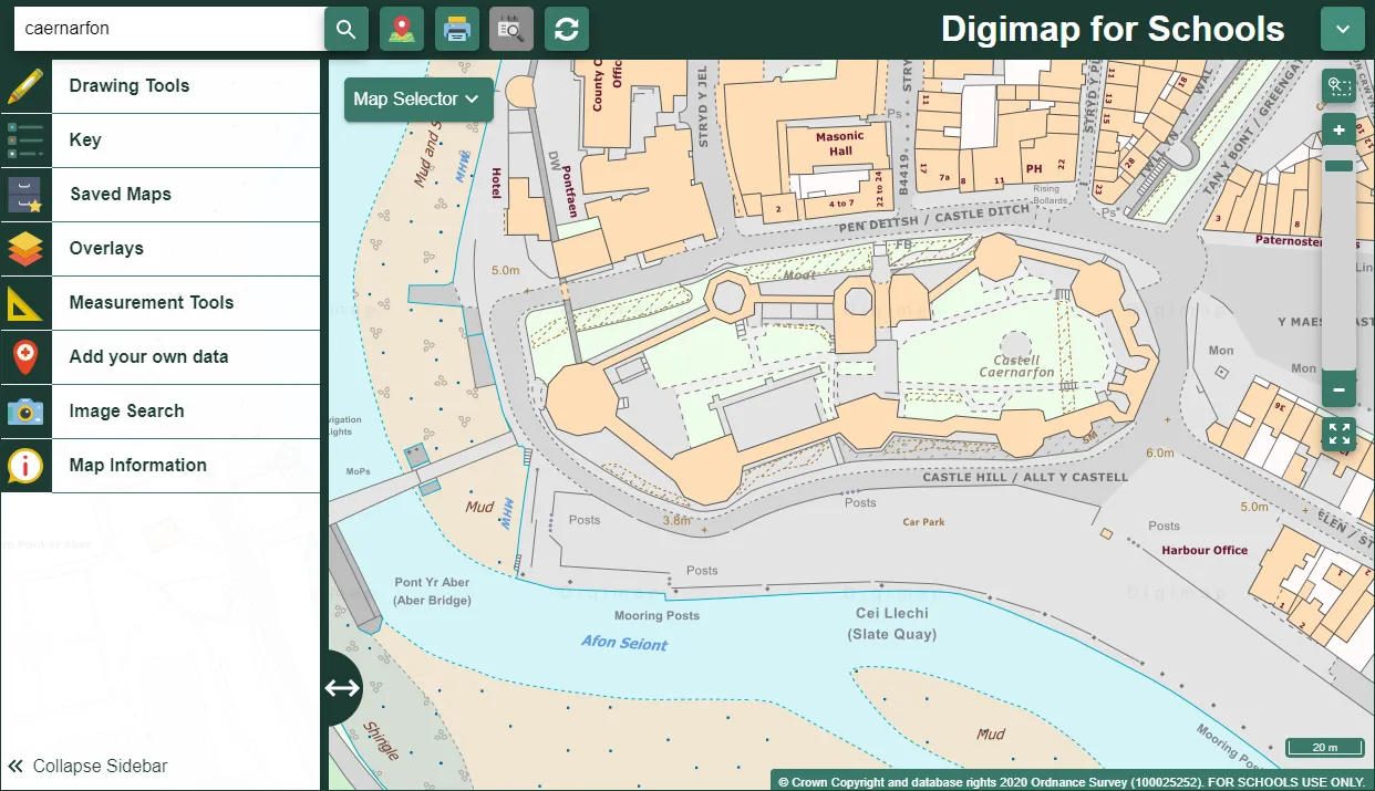
The Royal Geographical Society works with Ordnance Survey to develop education materials such as Digimap for Schools, to support the teaching of geography in the classroom.
OS has also recently renewed its sponsorship agreement with the Scottish Royal Geographic Society for another three years. This agreement, like that with RGS, is geared towards demonstrating the power of location data in tackling significant economic, social, and environmental challenges. Both for and through the community, there is a shared interest in advocating for geographers, and demonstrating the value of location data skills and insights.
For more information about the Royal Geographical Society visit www.rgs.org and www.rsgs.org for the Scottish Royal Geographical Society.
Check out the Ordnance Survey RIA Foundation Member profile here .
